The Pupil Book has the following features:
- Learning Outcomes at the start of each chapter to map topics in the text to the syllabus
- Comprehensive, clear theory notes followed by worked examples
- Exercises with clear progression, and problem-solving and real life applications embedded throughout
- End-of-topic and end-of-section questions assess understanding, not only of the current topic but also of the ways in which different topics might be combined in examinations
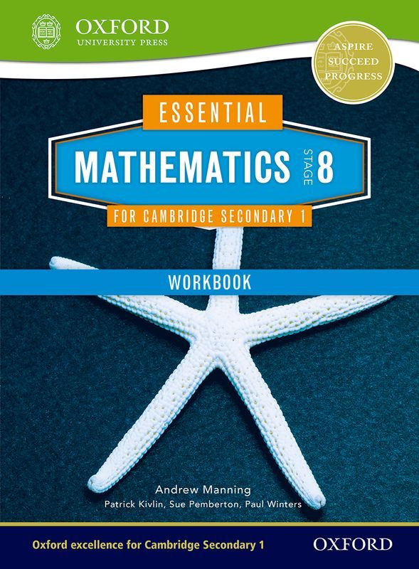
The Workbook has the following features:
- Summary notes for the theory required
- Exercises of extra questions for practice and application of skills
- Space for pupils to write their answers in


